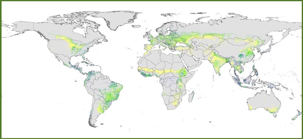
Global Tree Cover and Biomass Carbon on Agricultural Land - 2000-2010
The Global Tree Cover and Biomass Carbon on Agricultural Land Database provides raster data describing percent tree cover and above- and below-ground biomass carbon on agricultural land, globally, at a resolution of 1 km2 (30 arc seconds in geographic coordinates, as provided for online data distribution), for the period 2000 to 2010.
Datasets are available for display, interactive map production, and download here:
UNDER DEVELOPMENT - NOT YET AVAILABLE