| You are currently reading our legacy website. You can view our current projects here: |
LAKE VICTORIA - RIVER NYANDO BASIN
Hydrology
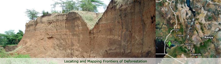
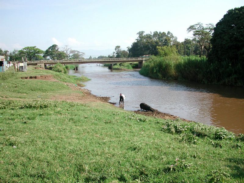
The general drainage pattern of this area is controlled by the level of Lake Victoria in the west, which now stands at approximately 1,138 meters a.s.l., and the peak of the Tinderet Volcano at 2,930 m a.s.l in the north-eastern portion of the basin. The 1,300 meter contour line approximately delineates the edges of the Nandi and Mau escarpments. At the base of the scarps numerous streams cut deeply through poorly sorted beds of coarse gravel, sands and sandy clays in the Kano plain. Steep hydrological gradients occur in this area with long slopes in excess of 20 degree inclination.
Soils
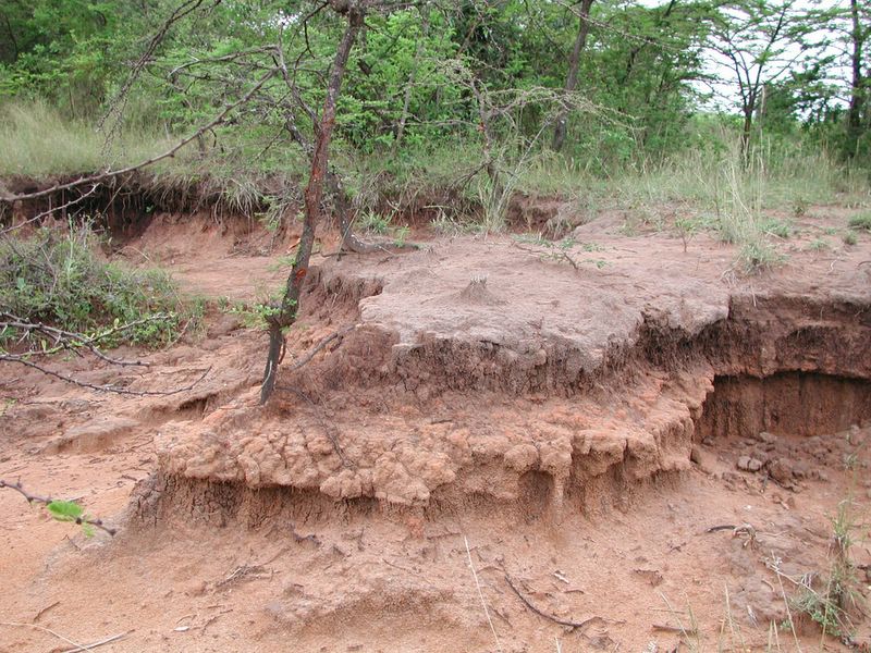
Soils in the Kano plain are primarily derived from Holocene
sedimentary deposits. Luvisol, Vertisol, Planosol, Cambisol and Solonetz
types are common, often in saline or sodic phases (Andriesse and van der
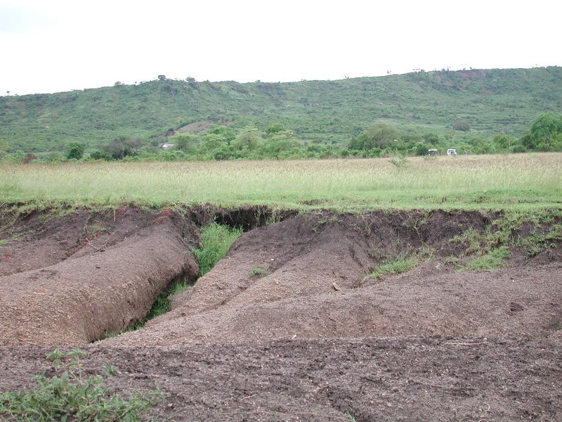
Pouw, 1985). Upland soils are derived from a wide variety of parent materials
including phonolites, quartzites, nephelinites, granitoid gneisses and
intrusives such as dolorites, monzonites and granidiorites (Binge, 1957),
which are representative of a large part of the Kenyan portion of the
Victoria Lake Basin. Predominant soil types include Ferrasols, Nitisols,
Cambisols and Acricsols (Andriesse and van der Pouw, 1985).
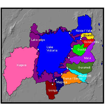
The Lake Victoria Basin
Please click on the thumbnails above to view/download larger
images
Back to top 
|